Minneapolis grew up around the Mississippi River's dramatic falls and bluffs, but the same glacial geology that gave St. Anthony Falls its power left behind complex slope conditions. The city sits on a mix of outwash sands, lacustrine clays, and glacial till, all cut by a river valley with up to 100 feet of relief in some neighborhoods. Development along the riverfront, the Midtown Greenway corridor, and the expanding suburbs into Dakota County's river terraces routinely encounters slopes that need proper engineering. A slope stability analysis here must account for the Des Moines Lobe's distinctive stratigraphy—layers that can hold perched water and lose strength rapidly after heavy rain. Our team has worked on cuts and embankments from the University of Minnesota campus to the bluffs near Minnehaha Park, combining field data from SPT drilling with laboratory shear strength testing to model conditions accurately.
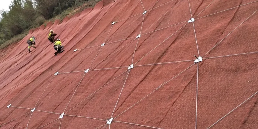
In Minneapolis, the critical failure surface often follows the contact between outwash sand and the underlying till—miss that interface and the factor of safety looks fine on paper but fails in the field.